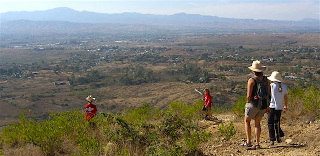
Walking just above San Pablo Etla during the dry season.
If you like to walk or hike, you’ve come to the right place. For a quick morning walk, just head up the road and fork right to the Seminario. Then keep walking up the road as far as you like. Or fork left and walk over to the 2nd Section (of San Pablo). You can loop back at the next intersection or continue straight toward the presa (a small reservoir–no swimming allowed) and the La Mesita ecological area. The “fork” comes about 200 meters up the road from El Barco.
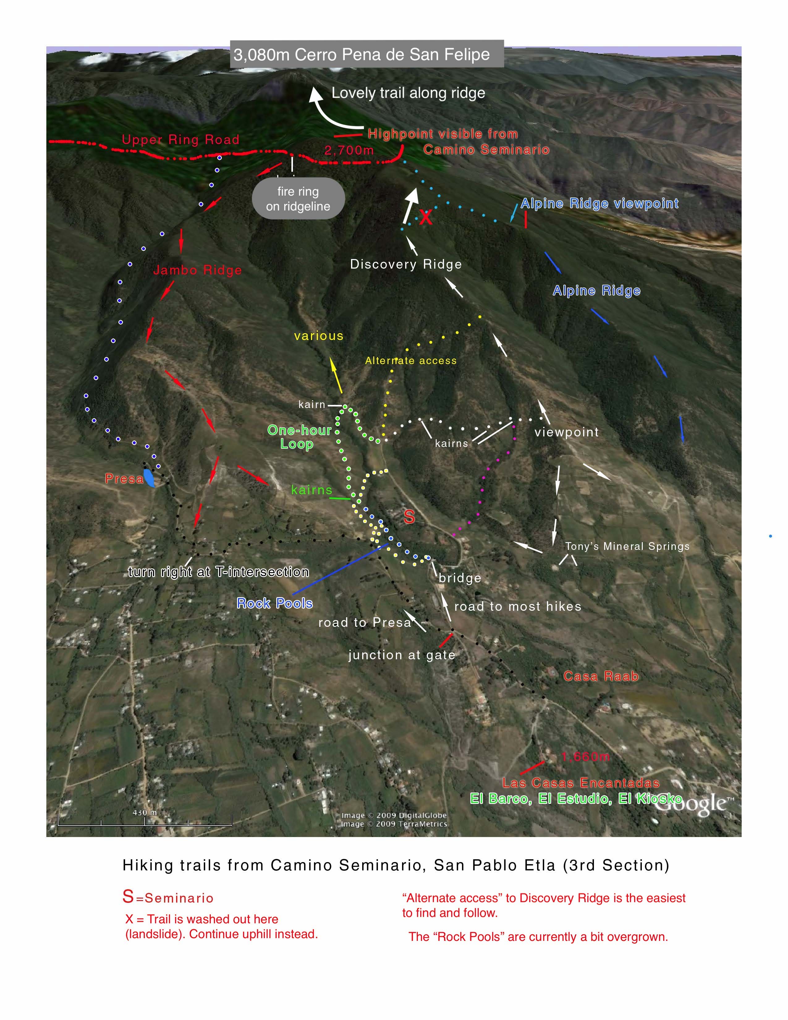
During our five years of living here, John spent most of his free time on the burro trails above El Barco with a machete or a pair of loppers in his hands. Alas, he hasn’t been back much since 2010, so a few of “his” trails have returned to their more native state. John drew the map below in 2008; many of the cairns have since vanished, while vegetation sometimes obscures a trail. But you can use the map as a rough guideline and pick the route that appeals as you go. In 2019 John confirmed that the “5 Hour Loop” using “Alternative Access” is in great shape and very easy to follow. But you might want to allow an extra hour, with rests.
For your hiking pleasure, a few simple notes:
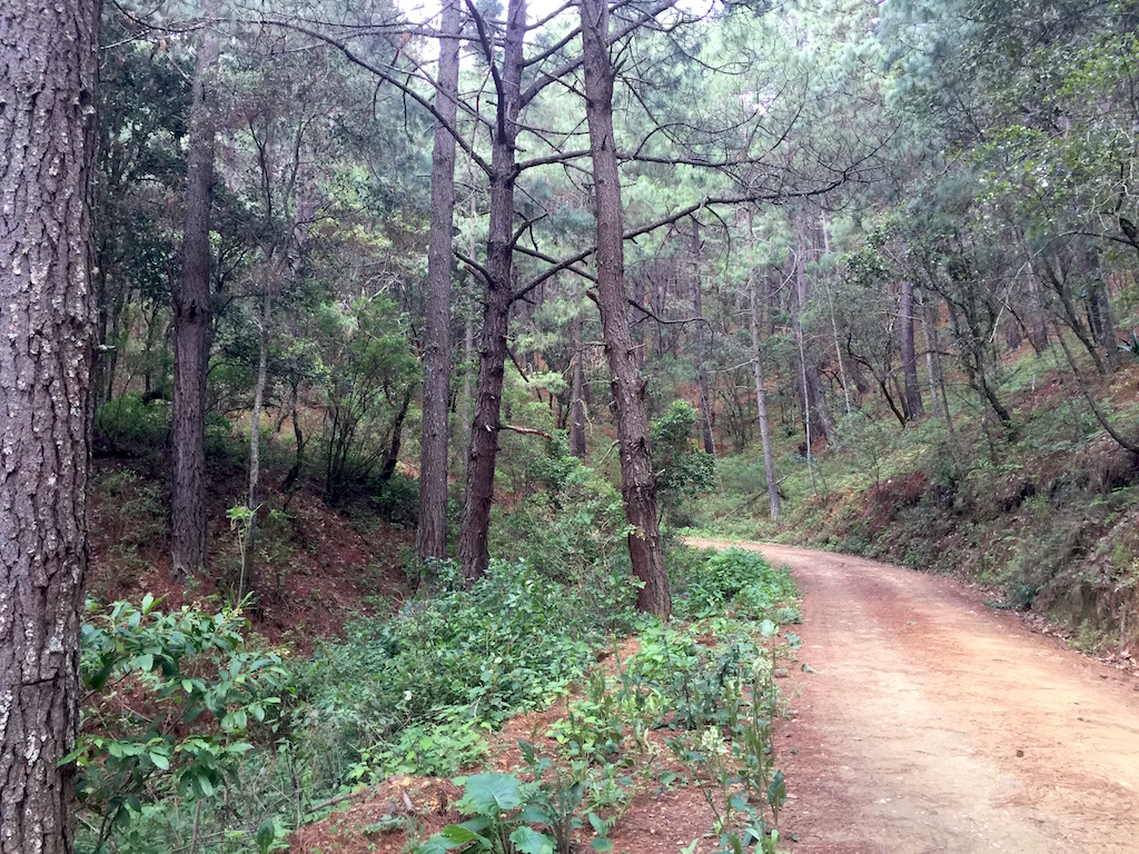
- The scrubland soon transitions to the oak zone, which in turn transitions to a pine forest. It’s always cool and pleasant in the pine forest, even in the dry season (winter).
- During the rainy season (summer), be prepared for a thunderstorm and tropical deluge to roll in within minutes. Carry a raincoat even if there’s not a cloud in the sky when you start out in the morning. No worries about rain during the dry season.
- Start in the morning. You’ll be cooler during the dry season, drier during the wet. What’s early? Depends how far you’re going. Allow three+ hours to reach the “Upper Ring Road”, five+ hours to top-out on Cerra Pena San Felipe (hidden behind the foreground peaklet you can see from El Barco).
- If the trail gets a bit overgrown and/or you miss an intersection, don’t worry, there will be more options to come. Enjoy the adventure.
- DOWNLOAD THE TRAIL MAP HERE, if you like.
- Another map is here. Zoom and click on the trail for basic comments.
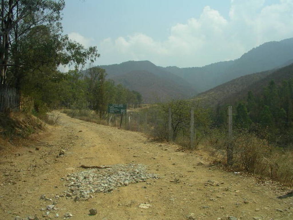
Nearing the end of Camino al Seminario, just below the seminary. This is where most of the hiking starts above El Barco.

Burros carrying firewood down from the hills above San Pablo Etla, Oaxaca.
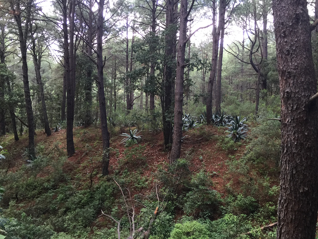
Giant magueys in the pine forest above San Pablo Etla, Oaxaca.
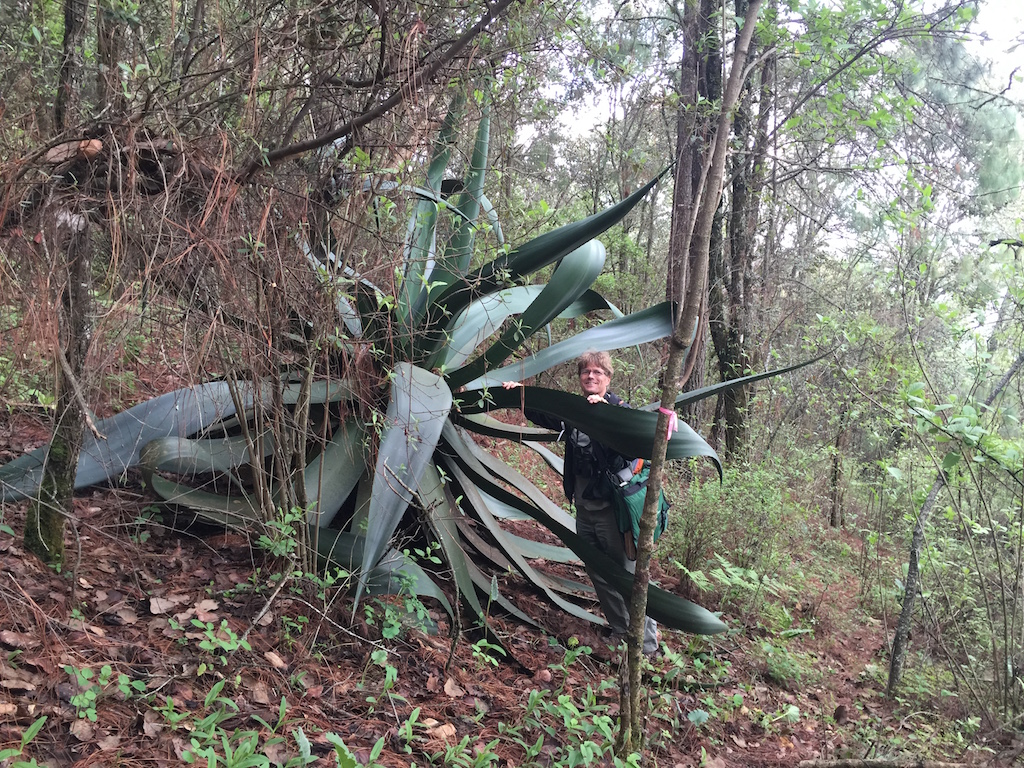
John in a maguey above San Pablo Etla, Oaxaca.
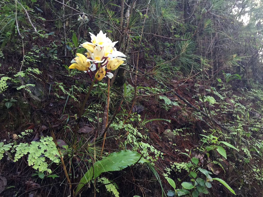
One of many orchid varieties in the hills above San Pablo Etla.
Part of the “Upper Ring Road” in the pine forest above San Pablo Etla, Oaxaca.
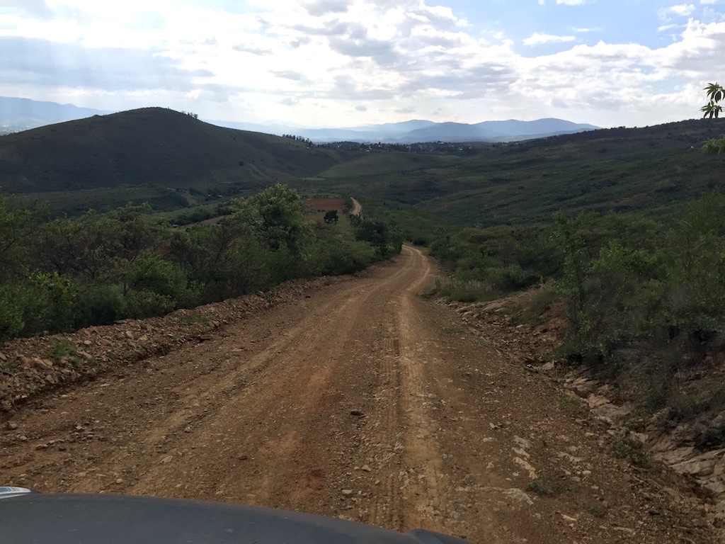
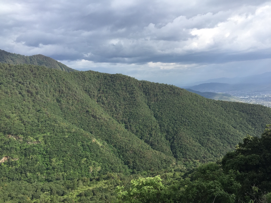
The road down from La Mesita, San Pablo Etla, Oaxaca.
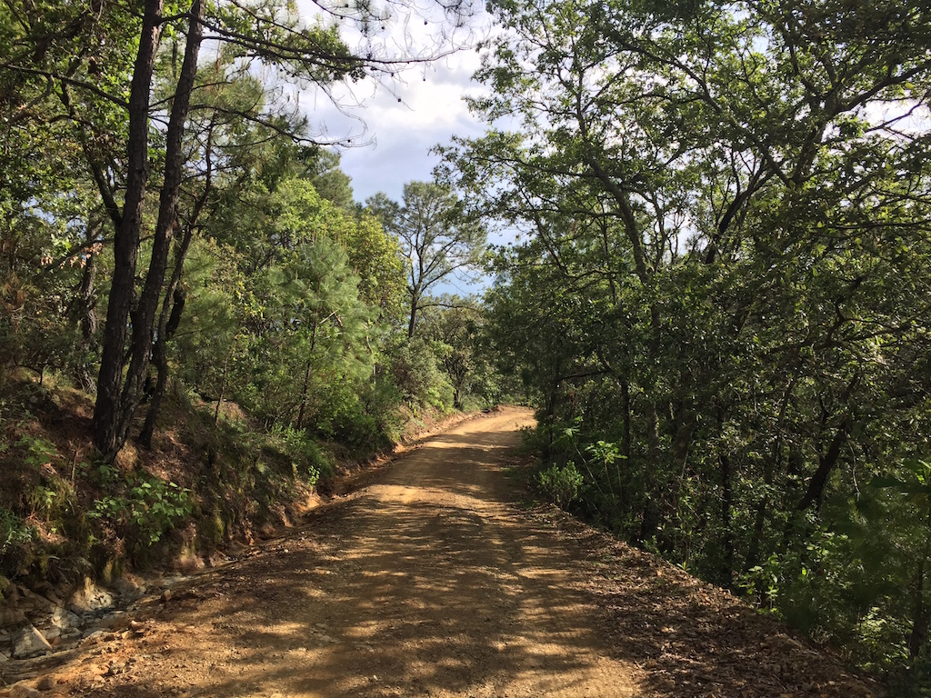
In the oak forest zone on the road above La Mesita in San Pablo Etla, Oaxaca.
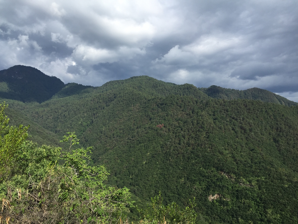
The view from the road above La Mesita. The peak on the left is Cerro Pena San Felipe, while the ridges on the right are “Jambo” and the top of “Discovery”. The “Upper Ring Road” flows just below the shadow on Cerro Pena. This is mostly in the pine forest zone.
The long ridge in the foreground is what we call “Jambo Ridge” on the map. We’ll rename it when we learn the local name. It was my favorite mountain bike descent and makes a great hike, too.
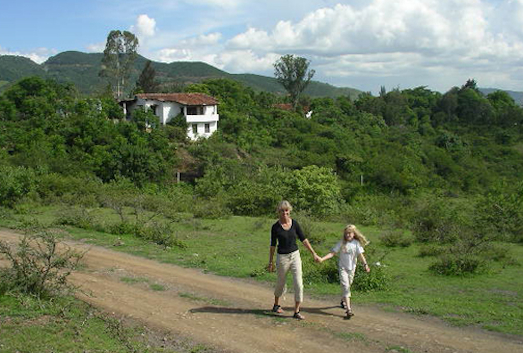
Adele and Siena on a morning walk in 2005. The house in the background is where we first lived, El Estudio (it’s now painted green and greatly expanded). El Barco is hidden in the trees to its right. San Pablo Etla, Oaxaca.
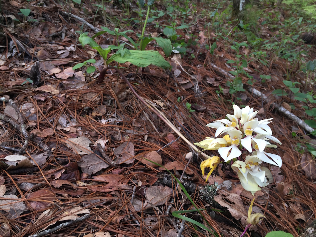
An orchid in the hills above San Pablo Etla, Oaxaca.